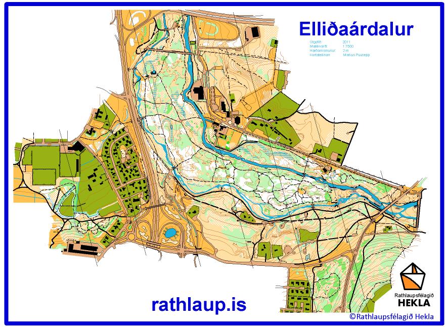
 Scale: 1:7 500
Contours: 2 m
Size: A4
Authors: Markus Puusepp
Year: July 2011
Area: 1,78 km²
A map of Elliðaárdalur Valley was among the first orienteering maps made in Iceland by Per-Ola Olsson in 1997. This was in the scale 1:10 000. In July 2011 Markus Puusepp made a new enlarged (by 65%) map of this area in scale 1:7 5000.
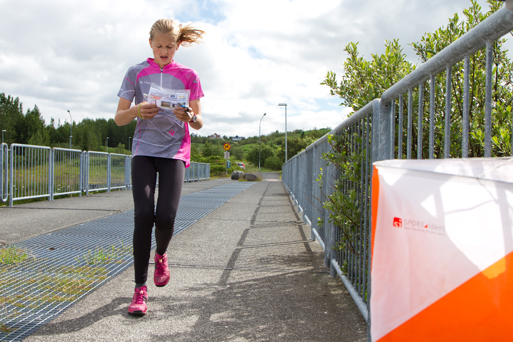
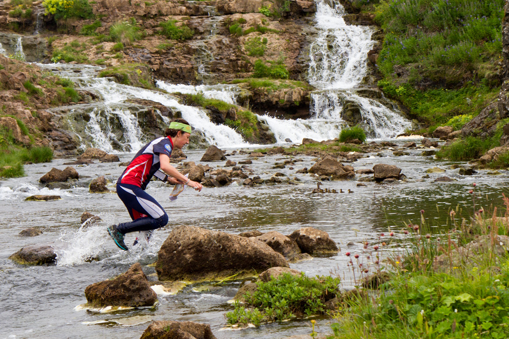
Located right in the Reykjavík City, this natural oasis will take you by surprise. It is wonderful outdoor recreational area where you can enjoy woods, rivers, waterfalls, flowers and wild life. Elliðaárdalur is a perfect place for many activities as well as enjoying peaceful moments in the Capital.
It is not a city park as you might know them and one shouldn’t expect finishing the course clean and with dry feet (excluding the shorter courses).
As well as most of our map areas, this one is based in a lava field, 4,500 years old. Even though unlike in the previous two days, you shouldn’t be afraid of sharp and bizare lava formation. The lava there are mainly bare flat rocks.
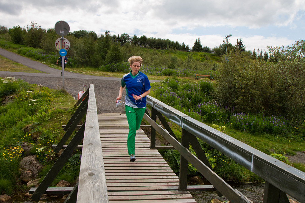
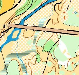 The main, central part is bordered by two river branches. The bigger, eastern one is well-liked fishing river with great number of arctic char, salmon and brown trout. Due to main fishing season during ICE-O event, it is closed for runners and crossing it is strictly forbidden.
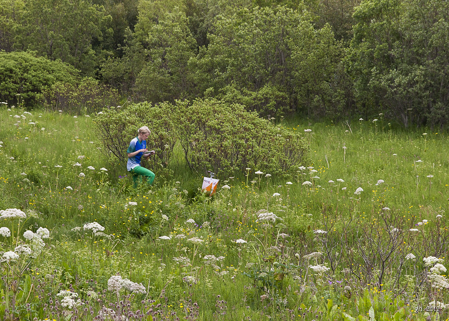
This central island is mostly forested with a dense network of paths and hidden picnic sites. Terrain details and marshes are many in this part, too.
 The surrounding slopes in north and south part of the map are mainly semi-open land overgrown by lupinas and minor woods and grass open land. The western edge, as well as a few other smaller areas include detached houses and private yards.
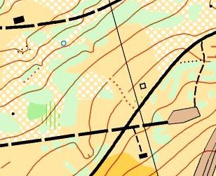
As this is a very popular outdoor area, one should be attentive to other visitors and pay special caution whenever crossing a river and to bikers, especially on the paved trails.


More pictures from ICE-O 2012 held in Elliðaárdalur Valley at Hekla flickr page.