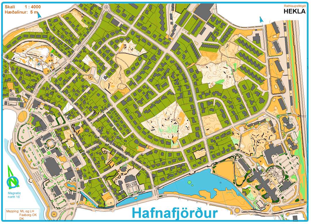
Scale: 1:4000
Contours: 2 m
Size: A4
Authors: Morten Lassen and Lotte Hjort
Year: 2013, according to ISSOM 2007; revised summer 2014
Area: 0,74 km2
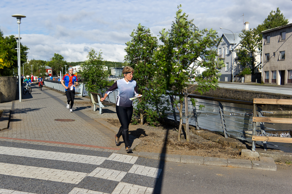
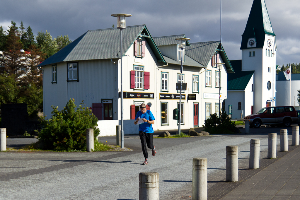
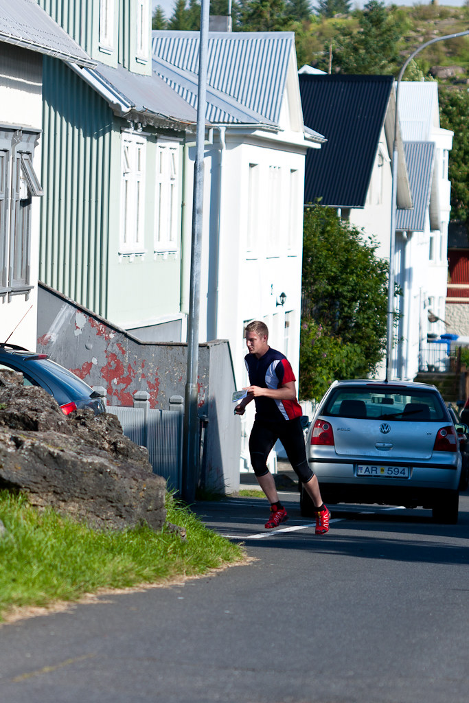
Friday sprint event will be hosted in the town of Hafnarfjörður.
Hafnarfjörður is an old harbour town within the Capital conurbation. It is the third largest town in Iceland, nicknamed The Town in Lava. Next to 26,000 people there live the largest community of hidden people – elves.
 The Hafnarfjörður map offers two different types of terrain. The city center urban part consists of a network of irregular streets with both traditional and modern architecture detached houses, shopping and cultural center in the western part and a large school yard on the southwestern edge of the map.
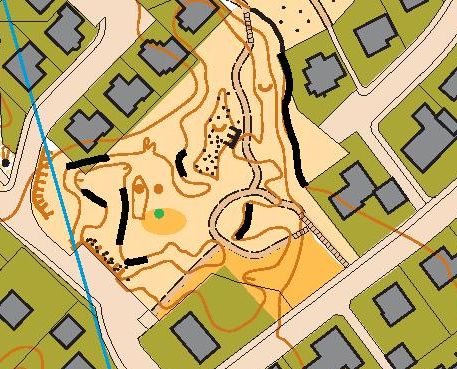
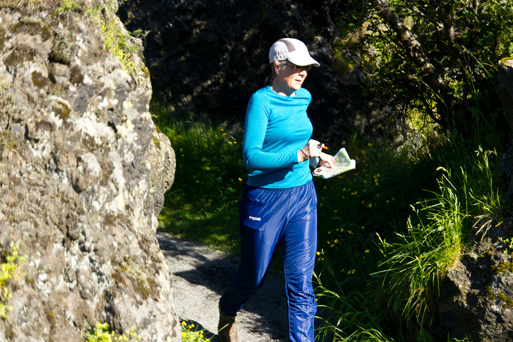
The uniqueness of this map is in numerous parks with plentiful lava formation, terrain features and various vegetation. Those open lava fields are roughly mapped and missing many details. However before every race the areas next to controls are well revised.
There are many areas which are forbidden for the runners – most of the higher vegetation, flowerbeds as well as private gardens and yards and the main streets. Forbidden symbols will be announced in the race propositions.
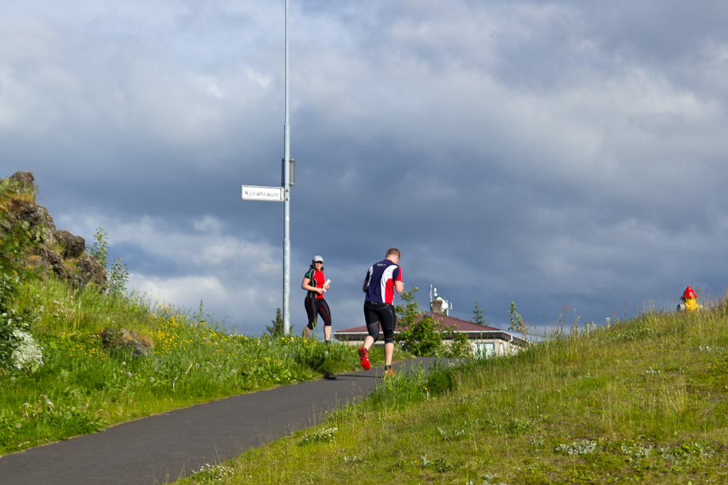
Runners should be aware that the traffic is open during the competition day and each runner should pay extra attention when crossing streets and roads. There might be mandatory crossing points which will be marked both in the map and control description. Children courses are designed in the areas with lowest traffic.


Visit Hafnarfjörður web page
More pictures from ICE-O 2014 in Hafnarfjörður at Hekla flickr page .